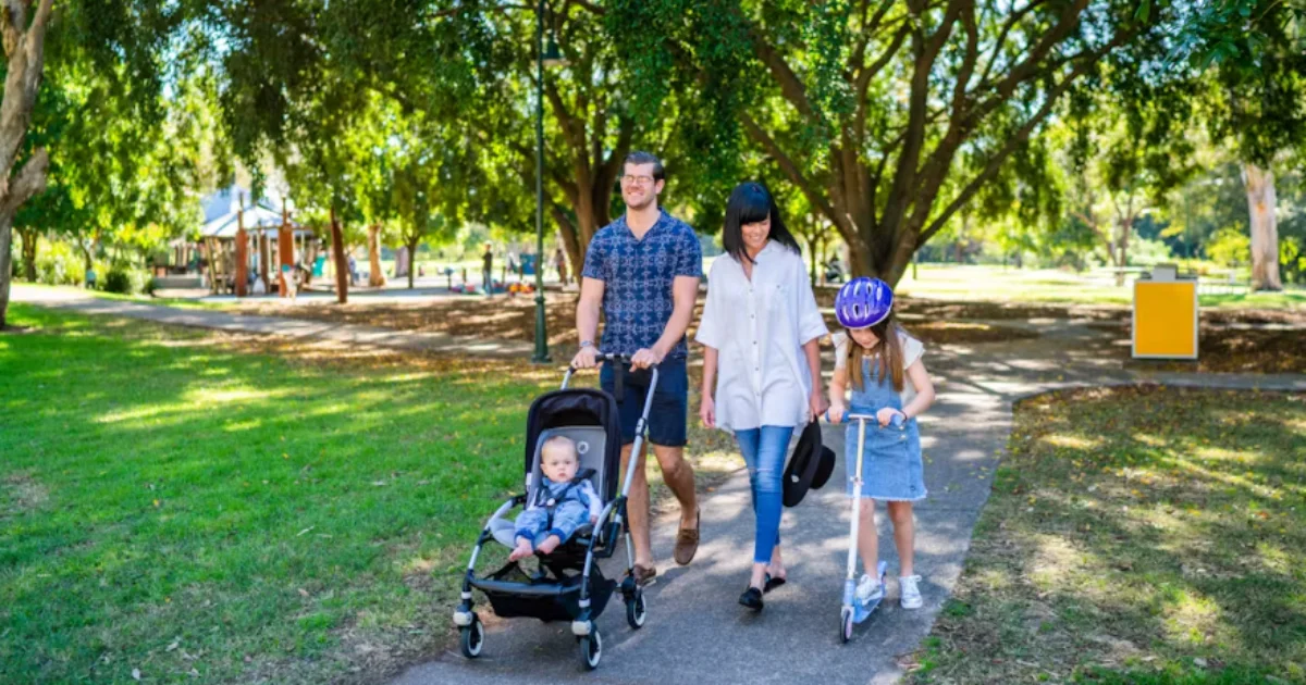
Local residents are being invited to share their thoughts on the Fairfield Walking Network Plan, a new initiative aimed at improving walking routes around the precinct. The plan aims to make everyday walking safer, more accessible, and more comfortable, encouraging people to move around on foot.
Although focused on Fairfield, the plan also includes nearby areas such as Annerley and Yeronga. Many locals routinely walk across these suburbs to reach public transport, shops, parks or work, and the plan seeks to ensure pedestrian routes meet the needs of people moving across these connected communities.

What Is the Walking Network Plan?
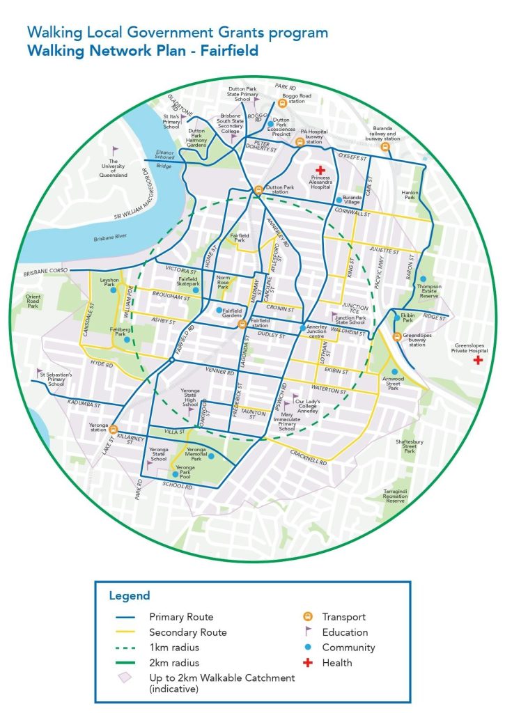
Walking Network Plans are strategic tools that map out primary and secondary walking routes in a precinct. These maps highlight the most practical paths to everyday destinations like schools, shops, public transport stops, and parks. Primary routes typically follow main roads and offer the most direct access, while secondary routes link residential streets to those key thoroughfares.

These plans help guide investment in pedestrian infrastructure by identifying where improvements are needed. This may include adding more pedestrian crossings, upgrading footpaths, or developing shared pathways for both walkers and cyclists. The purpose is to build a network that is both user-friendly and efficient, making walking a viable choice for short trips.
Feedback from the community plays a central role in the process. By gathering people’s experiences and suggestions, the plan becomes a practical tool for shaping a more walkable precinct. Once finalised, it will inform future works programs and help prioritise projects that improve safety, connectivity and accessibility.
Why It Matters to Locals
For residents of Fairfield, Annerley and Yeronga, this is an opportunity to influence the streets they walk every day. Whether it’s noting where crossings are missing or where footpaths need repair, people’s input will shape the kinds of improvements the Council considers. This isn’t just about paving more paths — it’s about making sure the walking network reflects real community needs.


The plan also supports long-term planning. By identifying key routes, Council can better prioritise where to direct resources. Future infrastructure projects — though dependent on budget and city-wide priorities — will be guided by this plan to maximise benefits for walkability.
Have Your Say
Residents can provide feedback by completing the online survey or dropping a pin on the map to leave location-specific comments. The consultation period closes at 11:59 pm on Sunday, 30 November 2025.
Read: Hawthorne Coffee Expands to Fairfield with Vibrant New Sibling Cafe, Fieldy’s
This is a genuine chance for local voices to steer the future of walking in Fairfield and neighbouring suburbs. By participating, you can help create a safer, more connected and walkable neighbourhood for everyone.
To take part and learn more, visit Brisbane’s “Walking Network Plan – Fairfield” page.
Published 18-November-2025